On the southwest side of Mishawaka lies a neighborhood that is surrounded on three sides by South Bend, making it geographically almost an island. This peninsula of land is roughly bordered by Ironwood, Ewing/Dragoon, Logan, and the railroad tracks, but some will say it extends as far north as the St. Joseph River. This neighborhood was colloquially dubbed “Hooligan Heights” in the 1920s due to its rough-and-tumble reputation. While this geographic area is clearly the most western part of Mishawaka, it is excluded from the neighborhood known as the “West End.” The fact that it was not considered part of the West End may not have been a purposeful snub, but it is possible that the Belgians who once lived there with their well-manicured lawns did not want to associate with the riffraff a few blocks away. While the area is often overlooked in discussions of Mishawaka history, its tumultuous past was a microcosm of what was infamously happening in residential areas throughout the United States in the 1920s-1960s. Hooligan Heights’ history of racially restrictive covenants, federal housing policy, and subsequent urban renewal tells the tale of Mishawaka’s Wild West.
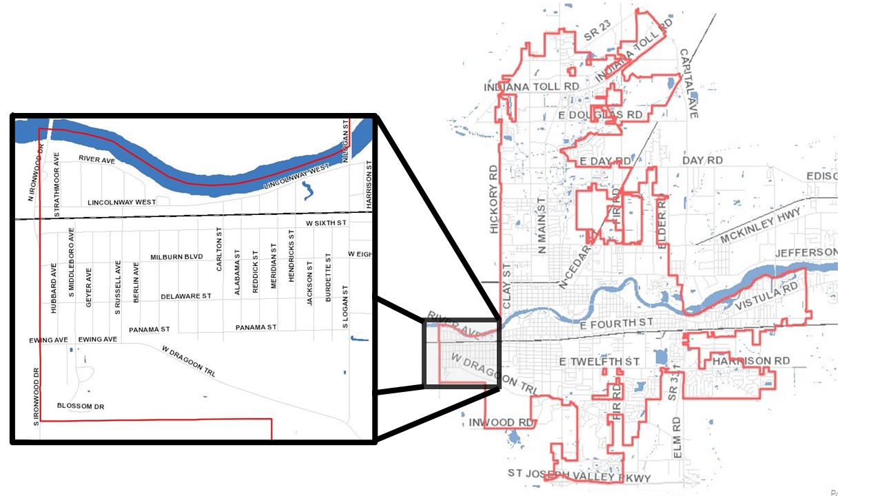
Location of Hooligan Heights in the city of Mishawaka
Images from “Mishawaka GIS Home” City of Mishawaka, http://mishawaka.in.gov/gis/home
Click the “Continue” button at the bottom of the page to learn more. The “Continue” buttons at the bottom of each page will guide you through the full history of Hooligan Heights in chronological order.